Author
Categories
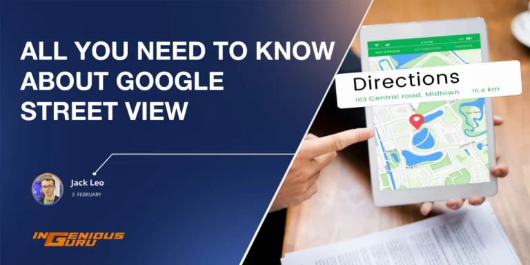
Google Maps has been a knight in shining armor for all the clueless people like me who never know which route to take to reach a particular destination. Google Maps has shown tremendous growth in terms of providing ease to people like us. Today we can literally go to any place from anywhere with their help; we can rely on them 100%. Since it is always upgrading its features, now is the high time Google should update its street view images as well. Some people [hint: me] wants everything clear cut or else we end up in a new strange place with no idea where to go.
Since the launch of Google Street view technology in 2007, the good news is it is continually improving and expanding. Juggernaut of the search engine has recently announced its algorithm that can now give you complete information about your destination from its street view images to updated business information that is usually displayed on Google.
If you have ever been in a situation where you have seen the Google Street View vehicles on the go or took a look at your neighborhood on Street View, you must have seen how frequently these images are updated or how long it takes to wait to show off your new landscaping on Google.
How it works
The new and innovative beta feature has been in the testing phase for months. Google is expected to automatically rotate and position the series of interlinked images taken by the Street View application for Andriod. Whereas previously, users were allowed to submit Street View imagery as it needed a unique 360-degree camera. However, today a regular standard phone camera would suffice too.
The street view feature opens up to the various new areas, including the areas that are hard to reach; some include the places that Google street view trekkers and cars have not even visited before. Moreover, this feature also allows you to see the new business places and the publicly posted open hours to ease out traveling for the ordinary people. However, the best thing about these features is that it blurs out the license plates and faces to keep the travelers’ privacy undisturbed.
Street View Image Issue
There is no denying to the fact that Street View is one powerful tool, and the gaps do not enormously diminish its utility unless they happen to be right in front of the destination you are looking for. However, it is pretty strange that even in the cities that Google’s cars have photographed hundreds of times, there are still various stretches, sometimes the whole streets, where the Street View imagery is not even available.
A few years ago, people detected a glitch on Google in their mapping software and called it a known issue, which is mainly due to a simple bug. Nevertheless, Google officers have made it clear they will not be providing any more information regarding whether our privacy is compromised or the gaps are expected to become more frequent.
However, the experts have speculated there can be various reasons for gaps. In some cases, it is due to the construction workers who have prevented its mapping cars from passing through. You may know it already there is a vast swathe of Hunters Point in San Francisco missing, such as the images of adjacent streets showing a lot of construction. In other cases, there is a possibility that a street view driver has skipped the street by accident, or there may have been a malfunction in a camera or recording software.
Where will the street view images be updated?
Google’s topmost priority is to get the street view images in the places where they currently have no photos. Along with its standard fleet of street view cars, Google is also using cameras attached to backpacks in Street view Treks’ programs to take pictures from the areas where the cars cannot reach. This Treks program will help users submit panoramic user-generated images that can easily be used in the Street View.
According to the search engine company, they are continually trying to recapture or update its image; however, it is usually done to prioritize essential places or areas that often change, like some critical metropolitan cities. If you live in a remote or rural area, it will take years for Google to send anyone to update your Street view. In other residential areas, Google updates the images every two or three years.
Moreover, Google’s current interface has maintained an interactive map showing where it has collected data of Street View and where it will be going next. The upcoming destinations can be sorted with an estimated range by district and range.
For those who are actively looking for organizations to perform their SEO and rank their websites, there is no better firm than Ingenious Guru for that. They are efficient and well-versed in what they do, the best thing about them is they will understand your requirements and get you exactly what you want.
So what are you waiting for? Rank your website today with Ingenious Guru.